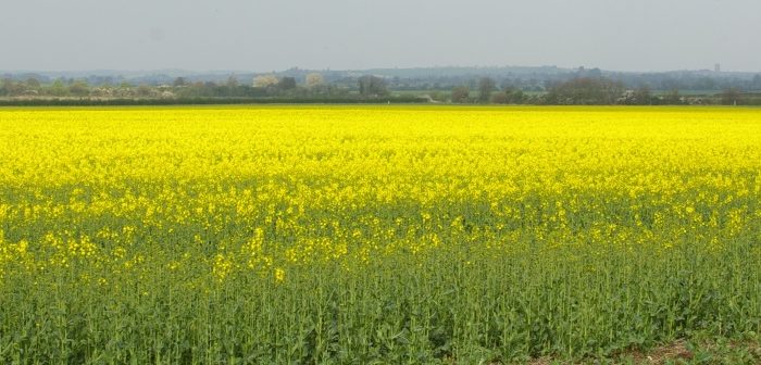
The latest Land Cover Plus Crops map produced by the Centre for Ecology & Hydrology (CEH) and RSAC Ltd reveals an overall 15% reduction in the area of oilseed rape (OSR) grown across Britain in the last three years, the equivalent of 97,000 hectares.
The early view crop mapping service also revealed marked changes to regional cropping pattern with a marked reduction in the area of oilseed rape (36%) grown in East Anglia between 2015 and 2017.
Whilst all regions showed decreases in OSR coverage over the three-year period, the maps, which also classify 10 other major crop types, do show small increases in OSR grown in 2017 compared to 2016 in the South East, South West, West Midlands, Yorkshire and Scotland.
John Redhead, a spatial ecologist at CEH, said, “The advantage of using remote sensing data to create a full-coverage crop map is that we can look in detail at cropping patterns over time and space, from the national trends presented here to the surroundings of individual sites.
“By using these data in combination with other CEH datasets we can start to examine what effects differences in cropping patterns are likely to have on the environment.”
Land Cover plus: Crops was developed in conjunction with Anglian Water and enables them and other water companies to improve their catchment modelling for the purpose of providing safe and clean drinking water for consumers.
Annual mapping of agricultural cropping over the whole country also has a range of other potential applications including the medium and long term detailed analysis of crop rotations and changing cropping patterns.
With a greater understanding of crops distribution, crops rotations and their downstream consequences, farmers, land managers and conservationists are in a better position to bring about reduced pollution, more control over the spread of crop diseases and enhance wildlife conservation.


